Frank Jacobs’ maps turn the world on end: a 16th-century drawing of the globe, with continents shaped like petals on a flower, for example, or Neil Armstrong’s movements on the moon–overlaid to scale on a baseball field. Since 2006, Jacobs’ collection of “cartographic curiosities” has lived online at Strange Maps, reportsCreative Review (Feb. 2010). In 2009 he published an atlas bearing the same name.
Or an “anti-atlas,” to be exact. The compendium “is sort of an atlas because it is a book of maps, but it is an atlas with a twist,” Jacobs tells the design magazine. “These maps are generally so beautiful and informative that they deserve to be printed. . . . If not informative in terms of accuracy, then at least [in terms] of beauty, strange viewpoints, and historical anomalies.”
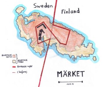
No map is too modest, too abstract, or too fanciful for Jacobs. A recent entry on his blog (http://strangemaps.wordpress.com) shows how the European continent mimics Marge Simpson’s profile. (France is her face, Paris the pupil of her eye.) And if Jacobs is correct, we’ll continue to see more artistic cartography–precisely because computer-generated maps have come to define modern lives.
“When photography replaced painting as the main way of depicting reality, that’s when painters really took off in strange directions. Surrealism, symbolism, impressionism, and expressionism were born because artists were liberated from the need to depict reality,” Jacobs tellsCreative Review. “Maybe the same thing is happening in cartography.”
See more of Jacobs’ strange maps at www.utne.com/Maps.


